Ukraine Claims 400+ km² Territorial Gains; Syrskyi Reports Tactical Shift Across Frontline
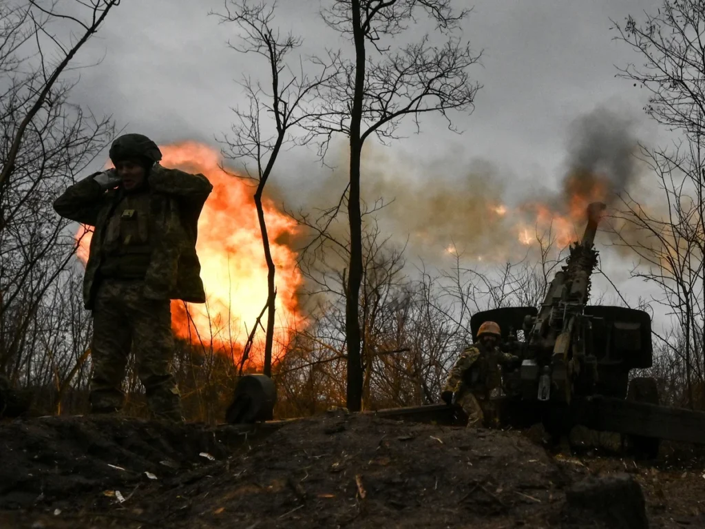
Territorial gains of this scale — if real — expose a constraint on Russian logistics and reserve positioning that Western intelligence may not have fully anticipated. If Ukraine is advancing in Kupyansk (northeast) and Zaporizhzhia (southeast) simultaneously, Russian forces are stretched thin across a 1,000+ km frontline with finite reserves.
This creates a second-order effect: Russia will likely accelerate conscription or redeploy forces from other theaters (Kursk, Donbas), which cascades into NATO's calculus on whether to reinforce Poland and the Baltics or sustain aid flows to Ukraine. The timing also matters — spring 2026 offensives typically exhaust both sides by summer.
If Ukraine burned through reserves to achieve these gains, ammunition resupply becomes urgent by Q3 2026.
If confirmed, this represents the first sustained Ukrainian territorial recovery in over a year — a shift that would alter NATO's assessment of Ukraine's war-fighting capacity and inform allied ammunition and air-defense resupply decisions through 2027.
The scale matters: 400+ km² across multiple sectors suggests coordinated offensive capability, not localized counterattacks. This directly affects US and European procurement timelines — if Ukraine can sustain offensive operations, EUCOM and INDOPACOM will argue for accelerated ATACMS, Storm Shadow, and air-defense system deliveries rather than defensive-posture stockpiling.
Watch the next NATO defense ministerial (late June 2026) for whether allied guidance shifts from "sustaining Ukraine" to "enabling Ukrainian offensive operations."
What's the verification status on the 400 km² figure? Ukrainian military claims require independent confirmation — satellite imagery, third-party assessments from OSINT groups, or NATO intelligence corroboration.
Fault Lines
Strategic intelligence, synthesized daily — with a public track record. Every call graded against what actually happened.